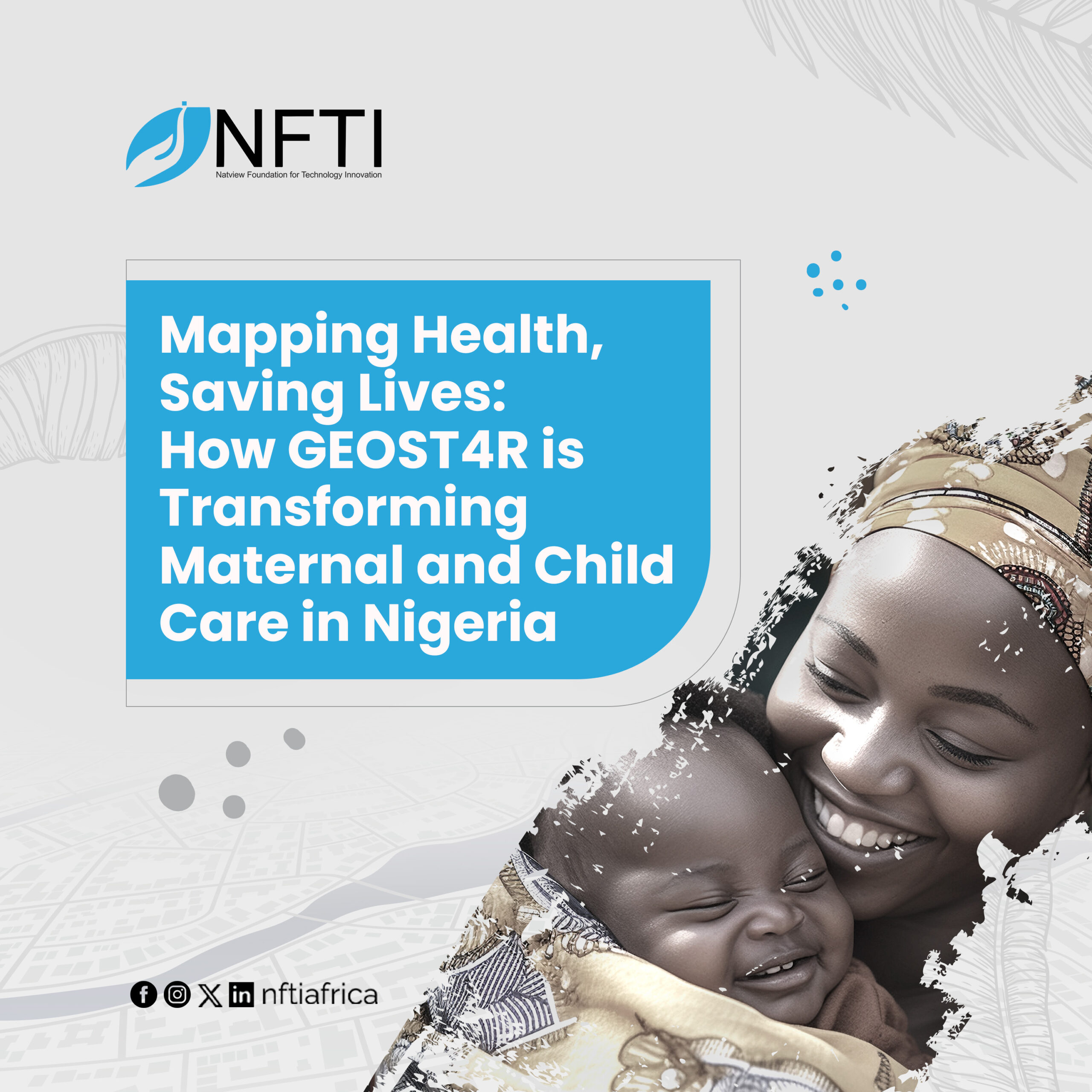
Nigeria continues to face significant challenges in maternal and child health, ranking among the countries with the highest mortality rates worldwide. According to the World Health Organization (WHO), between 2000 and 2020, Nigeria accounted for more than 25% of global maternal deaths, with maternal mortality ratios among the highest in sub-Saharan Africa and the second-highest neonatal mortality rate globally. While progress has been made, persistent barriers, including limited access to health facilities, inadequate health data, and overreliance on paper-based microplanning, have slowed the pace of improvement.
To address these challenges, the GEOST4R Project (Geospatial Tools, Technology, and Data for RMCCHN Microplanning and Decision Support), funded by the Gates Foundation, is advancing an innovative approach that utilizes geospatial technology to enhance planning and decision-making for maternal and child health. The project focuses on strengthening routine immunization, reproductive health, and primary healthcare delivery by providing tools to enable healthcare workers to make better plans and enable more access to real-time and spatially referenced data.
In its first phase, the project demonstrated how digital microplanning could enhance outreach and service coverage across multiple states. Now, in the second phase, GEOST4R has evolved into a more targeted, data-driven initiative, with implementation focused solely on 15 zero-dose LGAs in Kano State.
At the center of this work is the Natview Foundation for Technology Innovation, serving as a key implementing partner driving the project’s technical backbone. NFTI supports the technical design and deployment of two critical components: the Geospatial Microplanning Toolkit (GMT) and the Master Settlement Registry (MSR). Together, these digital tools provide a unified and reliable system for identifying settlements, health facilities, and service delivery points, ensuring that no settlement is left behind.
The Geospatial Microplanning Toolkit is a mobile and web-based application that enables health workers to visualize, update, and analyze spatial data for targeted interventions. Through the toolkit, frontline workers can map outreach sites, identify coverage gaps, and better plan immunization sessions, antenatal visits, and maternal health campaigns. The Master Settlement Registry, on the other hand, provides a comprehensive and harmonized database of settlements and developed digitized Microplans across all the health facilities in the 15 zero-dose Local Government Areas (LGAs) and 172 (482 facilities) wards in Kano State. By linking these two systems, the project ensures that data used for planning and monitoring is not only accurate but also accessible and actionable.
NFTI’s role in this phase of GEOST4R goes beyond technology deployment. The Foundation leads capacity building efforts for health technical officers, equipping them with the skills to operate, manage, and sustain these geospatial tools. So far, over 400 health workers have been trained, learning how to interpret spatial data and apply it to real-world decision-making in maternal and child health programs. These trainings strengthen local ownership and ensure the longevity of the systems beyond the project’s lifespan.
NFTI supports the technical design and deployment of two critical components: the Geospatial Microplanning Toolkit (GMT) and the Master Settlement Registry (MSR). Together, these digital tools provide a unified and reliable system for identifying settlements, health facilities, and service delivery points, ensuring that no settlement is left behind.
Furthermore, NFTI plays a key role in ensuring sustainability and integration within the state’s existing health data ecosystem. By working closely with the Kano State Ministry of Health, Primary Health Care Management Board, and other stakeholders, the Foundation promotes the harmonization of multiple data sources, combining information from health facilities, settlements, and infrastructure databases into a unified and interactive platform. This integration helps eliminate duplication, enhances coordination, and supports evidence-based decisions at every level of the health system.
More importantly, GEOST4R demonstrates the transformative potential of geospatial technology in public health, showing how precision mapping, digital tools, and local capacity can work together to save lives. By integrating data from multiple layers, settlements, population density, facility distribution, and health outcomes. The project gives decision makers the ability to plan with clarity, allocate resources efficiently, and measure progress more accurately.
In Kano, these tools provide a new lens for understanding where needs are greatest. They allow planners to visualize where mothers and children live, where services are located, and where the gaps persist, all in real time. This ability to see, plan, and act with data is what makes the GEOST4R Project a model for data-informed healthcare delivery across Nigeria and beyond.
Through its work on GEOST4R, Natview Foundation for Technology Innovation continues to bridge the gap between innovation and implementation, ensuring that technology is not only developed but meaningfully applied to improve lives. By combining digital expertise, human-centered design, and strong partnerships, NFTI reinforces its mission: using technology and data for social good.
